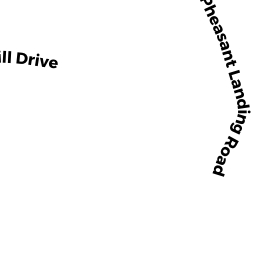
87 PHEASANT LANDING RD
Owner Information
SILVERSTEIN, STACEY A
87 PHEASANT LANDING RD
NEEDHAM, MA 02492


Property Details
87 PHEASANT LANDING RD is classified as a Single Family Residential (Cl).
The primary structure on this property was built in 1988. There are 2,650ft2 of built area within this property. There is 5,412ft2 of residential/living space within this property. This property is listed as having 11 rooms.
87 PHEASANT LANDING RD is valued at $1,972,700. The land is valued at $665,900 and the structures are valued at $1,306,800.
This property is in Zone SRA. Confirm with local Zoning Board authorities to ensure there are no overlays or other easements on this property.
87 PHEASANT LANDING RD was last sold on Friday, April 16, 2021 for $2,000,000.
Assessment data from fiscal year 2022.
Flood Data
According to the FEMA National Flood Hazard Layer, this property does not appear to be in a flood zone. It may also be in an area not yet reviewed. Nonetheless, confirm this information prior to taking any action.
To view the flood hazards around this property, create a FEMA "Firmette" Map of the area around 87 PHEASANT LANDING RD.
Broadband Internet Providers
| Provider | Type | Bandwidth (mbps) | |
|---|---|---|---|
| RCN | Cable | 500 | 20 |
| GCI Communication Corp. | Satellite | 0 | 0 |
| HughesNet | Satellite | 25 | 3 |
| VSAT Systems, LLC. | Satellite | 2 | 1 |
| Crown Castle Fiber | Fiber | 0 | 0 |
| Viasat Inc | Satellite | 100 | 3 |
| Verizon New England Inc. | DSL | 15 | 1 |
| RCN | Cable | 1000 | 20 |
| Verizon New England Inc. | Fiber | 940 | 880 |
| Comcast | Cable | 1000 | 35 |
Broadband service provider data from December 2020.
Adjacent Properties
- 73 PHEASANT LANDING RD
Single Family Residential owned by HAN, STEVE SANG WOO & - 47 PINE HILL DR
Single Family Residential owned by YAZDANSETA, KIANOOSH & KOHANLOO, DJAVAD - 91 PHEASANT LANDING RD
Single Family Residential owned by SOULIERE, ADAM E. & - 454 GROVE ST
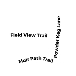
Single Family Residential owned by PASCUCCI, MICHAEL P. & - 35 PINE HILL DR
Single Family Residential owned by BERGERON, ANDREA J.TR